Our History · North Sacramento

A little bar.
A much
larger story.

Behind the Mother Lode is a story of a neighborhood taking shape—of stores and gathering places, ranch land and rail lines, and roads that changed where Sacramento went.

EXPLORE THE HISTORY ↓
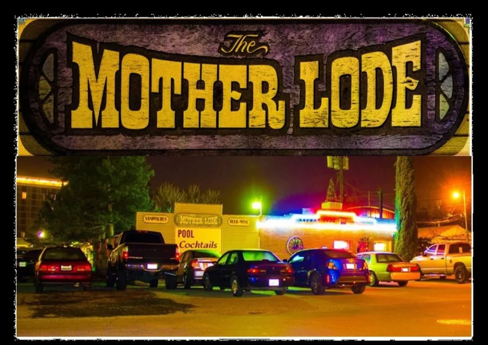
Classic Mother Lode sign above a nighttime view of the bar exterior
The Mother Lode’s classic sign and nighttime exterior. Date unknown.
1424 Silica AvenueStore roots · Neighborhood spiritSacramento, California 95815
01 / The place

Before the songs,
a store remembered.

Some of this story survives in personal recollections. Those details are identified here, alongside the city records that document the surrounding neighborhood.

An owner interview in Scoundrel’s Field Guide describes a general store here before the bar, with an old photograph inside recalling that earlier use.[1]

The owner told the reviewer that the space had operated as a bar by the 1960s and that her own ownership began in 1981. These are reported recollections, not a verified opening date or a complete ownership history.[1]

The review also describes wood-paneled rooms, karaoke, and regulars sharing homemade treats—a portrait of a neighborhood gathering place.[1]

The store’s original name, construction date, and exact transition to a bar remain unconfirmed in the sources reviewed. No Gold Rush–era founding date is claimed here.

02 / Beyond the front door

From ranch land
to city blocks.

North Sacramento grew from land associated with Rancho Del Paso, the celebrated horse-breeding ranch. Sacramento’s design guidelines describe Daniel Johnston’s purchase of about 4,000 acres in 1910 through the North Sacramento Land Company, followed by subdivision and the introduction of services.[2]

The new community incorporated in 1924 and joined Sacramento in 1964. This is the wider setting for the Mother Lode’s story—not proof of when its building was erected or its business opened.[2]

The address itself appears in a city zoning document: 1424 Silica Avenue, parcel 277-0101-015. That record identifies the property, but does not establish the building’s age.[3]

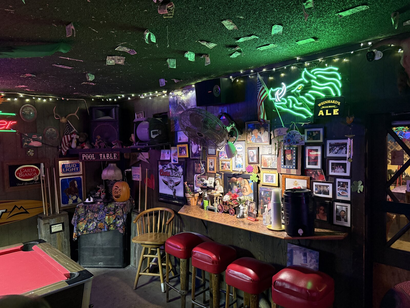
Wood-paneled Mother Lode interior with pool table, red stools and neon lighting
A present-day view from the Mother Lode website. Historical accounts and contemporary photographs are kept distinct.
03 / The long view

A place in time.

Property history and neighborhood history, read together.

1910Street record

Silica appears in the subdivision story

A later city legal description references Silica Avenue on the plat of North Sacramento Subdivision No. 2, filed December 15, 1910. This documents the street’s early mapped presence—not the bar’s construction.[4]

1924City history

North Sacramento becomes a city

The community establishes its own municipal identity, four decades before merging with Sacramento.[2]

1934–55Road history

Traffic builds—and then shifts

The 16th Street Bridge is widened in 1934. Highway 160 bypasses Del Paso Boulevard in 1955, redirecting traffic and affecting the corridor’s businesses.[5]

1960sOwner’s account

A bar on Silica Avenue

The owner interview places bar use here by this decade. A precise first year and the name used at that time have not been independently established.[1]

1964City history

Two cities become one

North Sacramento becomes part of the City of Sacramento.[2]

1981Owner’s account

A remembered ownership milestone

The owner interviewed by Scoundrel’s Field Guide dates her tenure to 1981. This is an ownership milestone, not the bar’s founding year.[1]

2011Planning vision

A new vision for Silica

The city’s Swanston design guidelines envision a mixed-use, pedestrian-friendly main street east of the tracks, while recognizing continuing industrial activity.[6]

04 / The roads around us

Every road carries
another chapter.

Silica Avenue’s immediate surroundings and the broader North Sacramento corridors.

01

Silica Avenue

The Mother Lode’s home street has a documented connection to the 1910 subdivision map. Much later, the Swanston guidelines describe the stretch between the tracks and Princeton Street as industrial and heavily used by trucks. Their proposed improvements include crossings at Harvard Street. The origin of the name “Silica” is not established by these sources.[4][6]
02

Del Paso Boulevard

North Sacramento’s historic commercial spine was part of U.S. 40. A 2019 history published by Sacramento News & Review describes the boulevard’s growth as a major travel corridor after the 1934 bridge widening. This regional road history helps explain the commercial world around Silica; it does not establish that the Mother Lode itself stood on U.S. 40.[7]

03

Arden & the
racehorse streets

Some street names preserve Rancho Del Paso’s racing heritage. City guidelines list Calvados, Cantalier, Frienza, Dixieanne, and Bassetlaw—identified there as today’s Arden—as streets named for the ranch’s racehorses. They are reminders of a landscape that preceded the city blocks.[2]

04

Highway 160

The 1955 bypass changed how motorists moved through the area. A historic-context account hosted by California’s Office of Historic Preservation links the diversion from Del Paso Boulevard to lost trade for North Sacramento merchants. That is a documented district-wide change; its specific effect on this property remains unknown.[5]

05

Sacramento
Inn Way

A November 9, 1967 City Council resolution authorized improvement proceedings for proposed Sacramento Inn Way between Silica Avenue and Cormorand Way, as spelled in the record. It offers a small but concrete glimpse of the street network’s continuing development after annexation.[8]

Along old U.S. 40

Motels, neon signs & a changing route.

Before freeway travel reshaped the area, Auburn Boulevard was part of the U.S. 40 approach to Sacramento from the northeast. Thomas Spaulding’s roadside history describes a corridor of small motels and neon signs, built to catch the attention of travelers looking for a night’s rest. Together with Del Paso Boulevard, it helps tell the story of the highway-era neighborhood around us.[9]

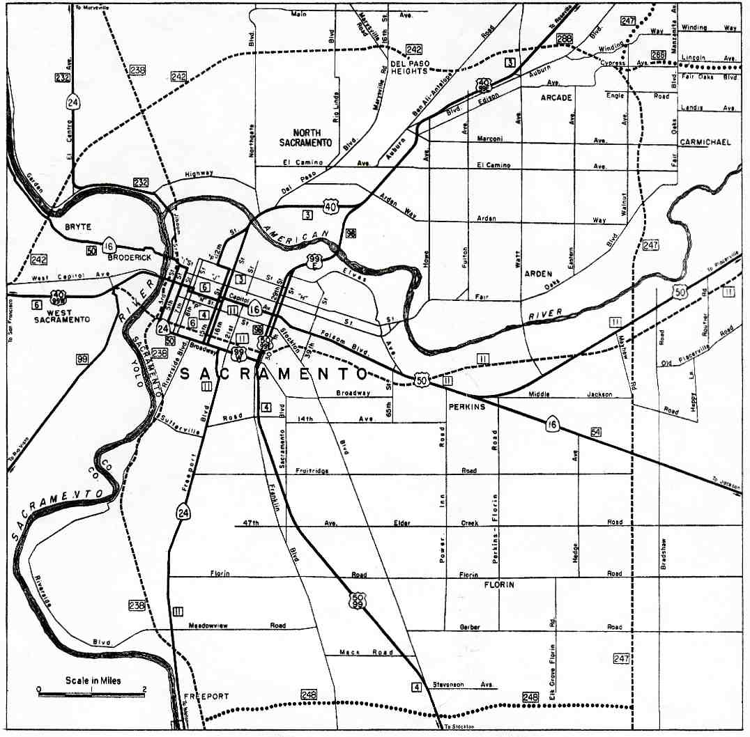
The route changed over time. The 1963 state highway map below shows U.S. 40 crossing the American River and continuing northeast, with Del Paso Boulevard and Auburn Boulevard labeled nearby. It captures a later stage of the road network, rather than every earlier alignment. California Highways and Gribblenation trace those changes through successive maps.[10][11]

This is the wider setting for the Mother Lode on Silica Avenue; the map does not identify the bar or establish that it stood on U.S. 40.

1963 Sacramento highway map showing U.S. 40 across the American River toward North Sacramento, with Del Paso and Auburn boulevards labeled
Sacramento excerpt from the 1963 State Highway Map, reproduced from California Highways, Figure 3. View the source image ↗. Select the map to open the full-size local copy.
FIND THE MOTHER LODE ON THE MAP ↗
05 / The unfinished chapter

History lives
in the details.

There is more to learn about this particular building. A dated photograph, a city-directory listing, a permit, or a former owner’s records could help connect the general-store chapter to the bar remembered today.

Still to be established

  • The original construction date and first business at this address.
  • The general store’s name and years of operation.
  • Earlier owners, business names, and the first bar license.
  • The naming history of Silica Avenue.

Useful next research: Sacramento city directories, historic parcel and building records, recorded subdivision maps, and dated newspaper advertisements. These are research leads, not records already verified for this property.

The record behind the story

Sources & notes.

Research supplied November 11, 2026
Open a source to see what it supports.

01 — Mother Lode owner interview & bar profile

Scoundrel’s Field Guide: Mother Lode Bar & Deli ↗
Secondary account based on an owner conversation and a visit. Supports the reported store use, bar use by the 1960s, the 1981 ownership recollection, and the described atmosphere. It is not a deed, permit, or licensing record.

02 — North Sacramento’s origins & racehorse street names

City of Sacramento: North Sacramento Design Guidelines, page 6 ↗
Municipal historical context for Rancho Del Paso, the 1910 land purchase, street names, incorporation, and annexation. Area history does not establish this building’s age.

03 — The address & parcel

City of Sacramento: zoning parcel table ↗
Lists 1424 Silica Avenue with APN 277-0101-015 and existing/proposed zoning columns. Used for property identification only, not as a current zoning determination.

04 — Silica Avenue & the 1910 plat

City of Sacramento: Z01-245, February 7, 2002, Exhibit B-2 ↗
A legal description references Lot 5, Block F, North Sacramento Subdivision No. 2, a December 15, 1910 plat, and Silica Avenue. Used as evidence of the street, not as the Mother Lode parcel’s title history.

05 — Bridge widening, Highway 160 & the city merger

North Sacramento School: draft historic nomination, Section 8, page 12 ↗
Historical context hosted by the California Office of Historic Preservation. Supports the 1934 bridge widening, 1955 bypass, and 1964 merger; it is a draft nomination, not a designation of the bar.

06 — Silica Avenue’s industrial character & planning vision

City of Sacramento: Swanston Design Guidelines (2011), page 23 ↗
Describes Silica between the tracks and Princeton Street, truck traffic, proposed crossings at Harvard, and a future main-street vision. Proposed improvements are not presented as completed work.

07 — Del Paso Boulevard’s highway-era role

Sacramento News & Review: Del Paso Boulevard’s History, November 14, 2019 ↗
A secondary neighborhood history used for the boulevard’s U.S. 40 connection and its commercial importance.

08 — Sacramento Inn Way improvement proceedings

Sacramento City Council: Resolution 3989, November 9, 1967 ↗
Authorizes proceedings for proposed Sacramento Inn Way improvements from Silica to Cormorand. The resolution alone does not prove a completion date.

09 — U.S. Route 40 & Auburn Boulevard

Thomas Spaulding: U.S. Route 40: Auburn Boulevard, February 22, 2008 ↗
A secondary roadside history and photographic survey supporting Auburn Boulevard’s U.S. 40 connection and its motel-and-neon landscape. Business descriptions reflect the author’s historical account, not current listings.

10 — The 1963 Sacramento highway map

California Highways: Sacramento freeway development maps ↗
Figure 3 identifies the Sacramento excerpt from the 1963 State Highway Map displayed above. The map documents the regional road network at that time, not the Mother Lode’s property history.

11 — Sacramento’s changing highway alignments

Gribblenation: Highways in and around Old Sacramento ↗
A secondary comparison of successive highway maps, including the 1963 map and later renumbering. Used for the changing regional route context, not a precise alignment at the bar.

Photograph credits

Contemporary imagery reused from our existing homepage assets at motherlodebar.com. They depict the bar in its contemporary presentation and are not offered as historical photographs.